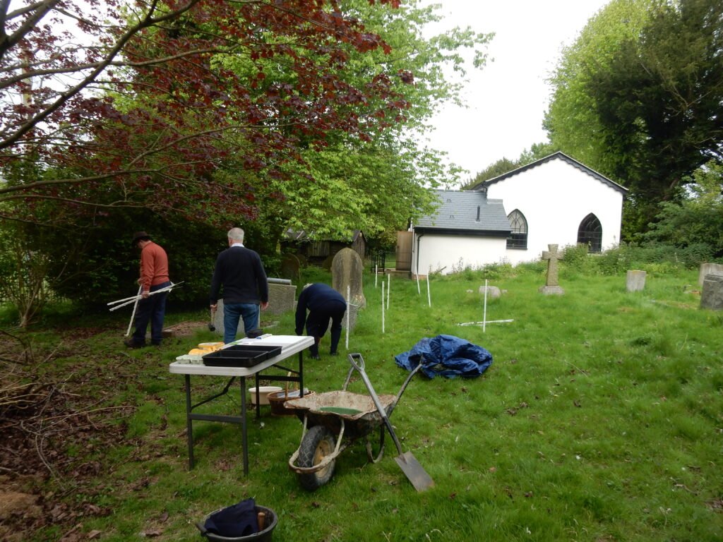
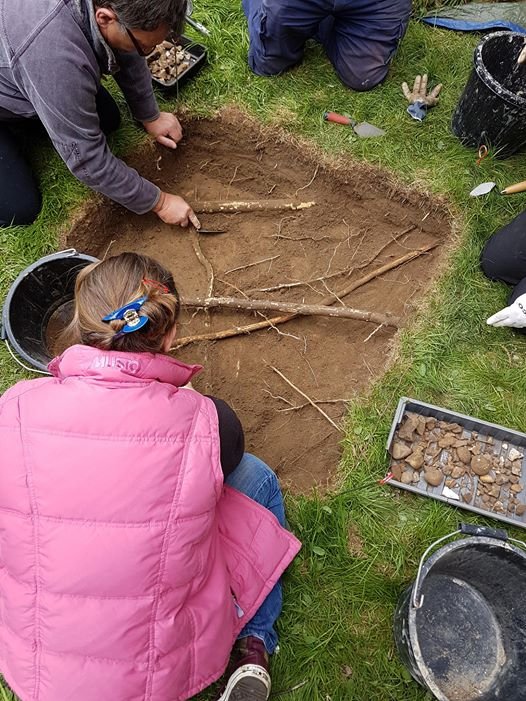
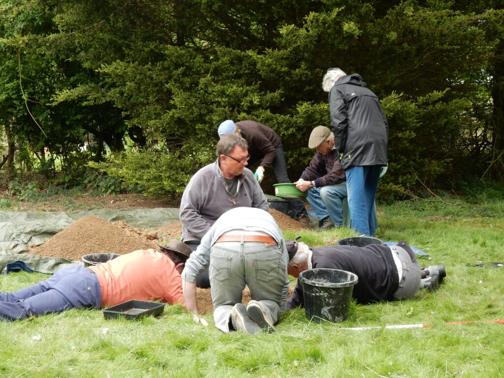
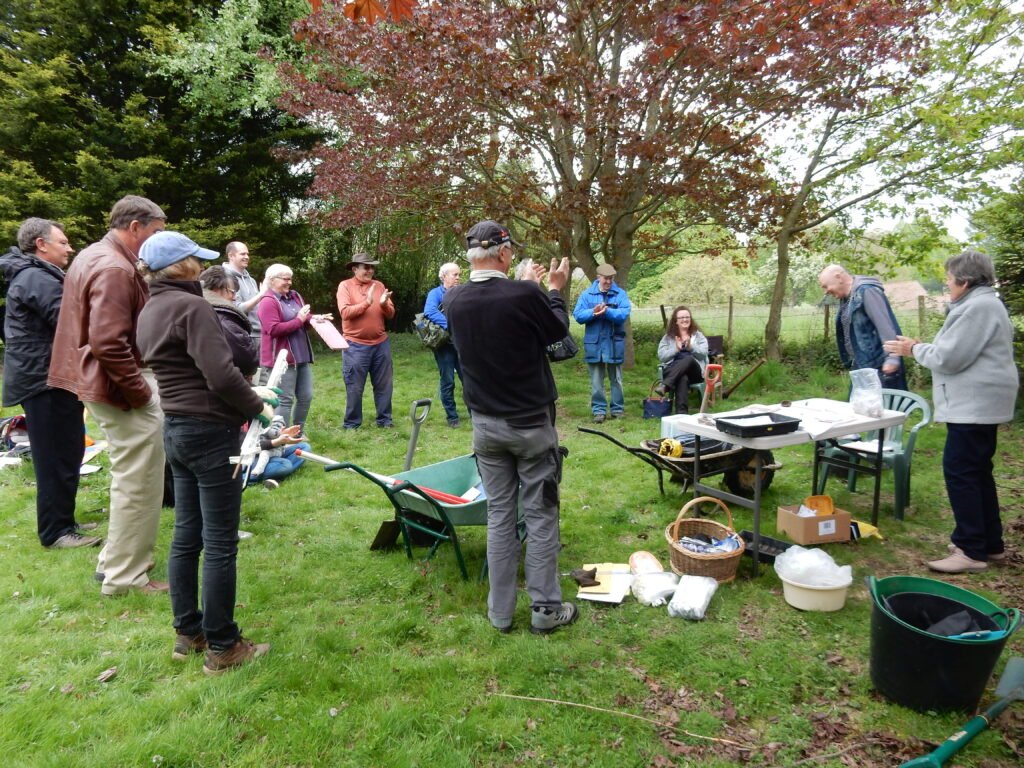
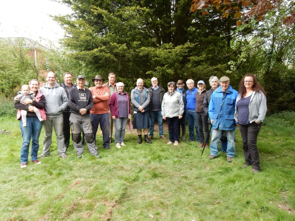
On 6th May 2017, Walkern History Society kicked off a new project, ‘Making Sense of our Village: above and below ground, with their first archeological dig.
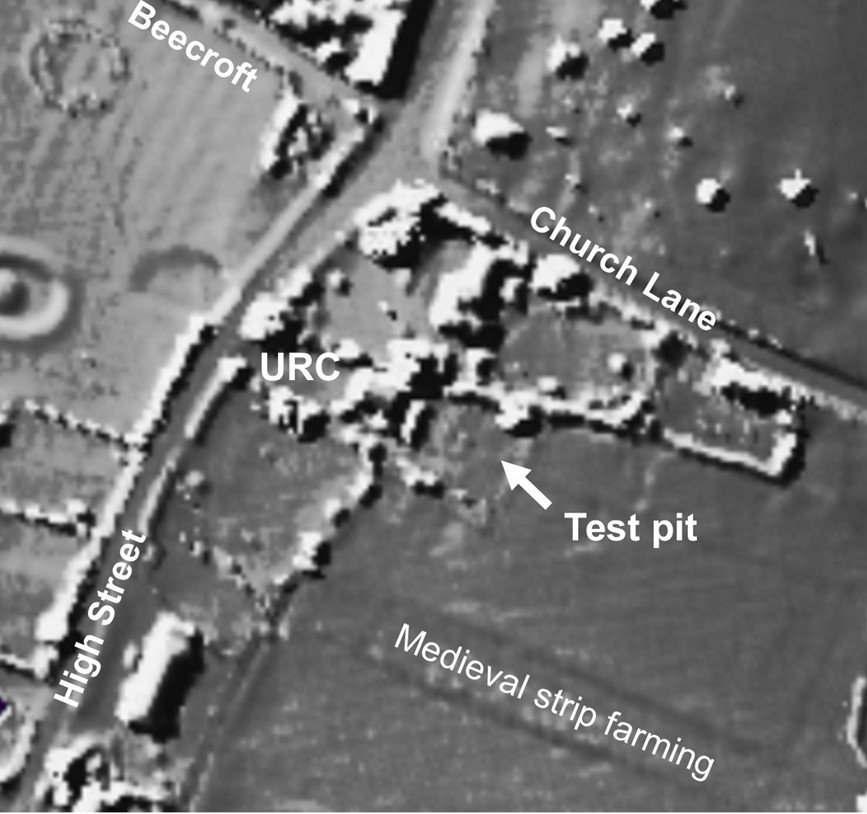
The test pit was at the back of the URC in a piece of land bought to extend the graveyard, but never used. This had been part of Bridgefoot common within which you can still see evidence of the medieval strip farming system. The URC dates from 1810, but was built around a much older barn. We believe the whole area, emcompassing Beecroft Lane, Church Lane, Bockings, Winters Lane, Totts Lane and the High Street, is the location of the original medieval village.
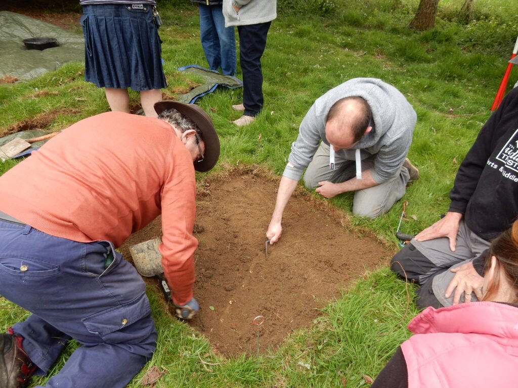
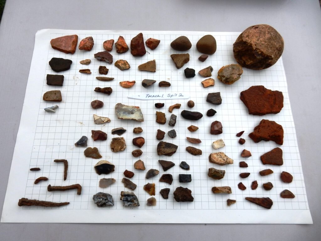
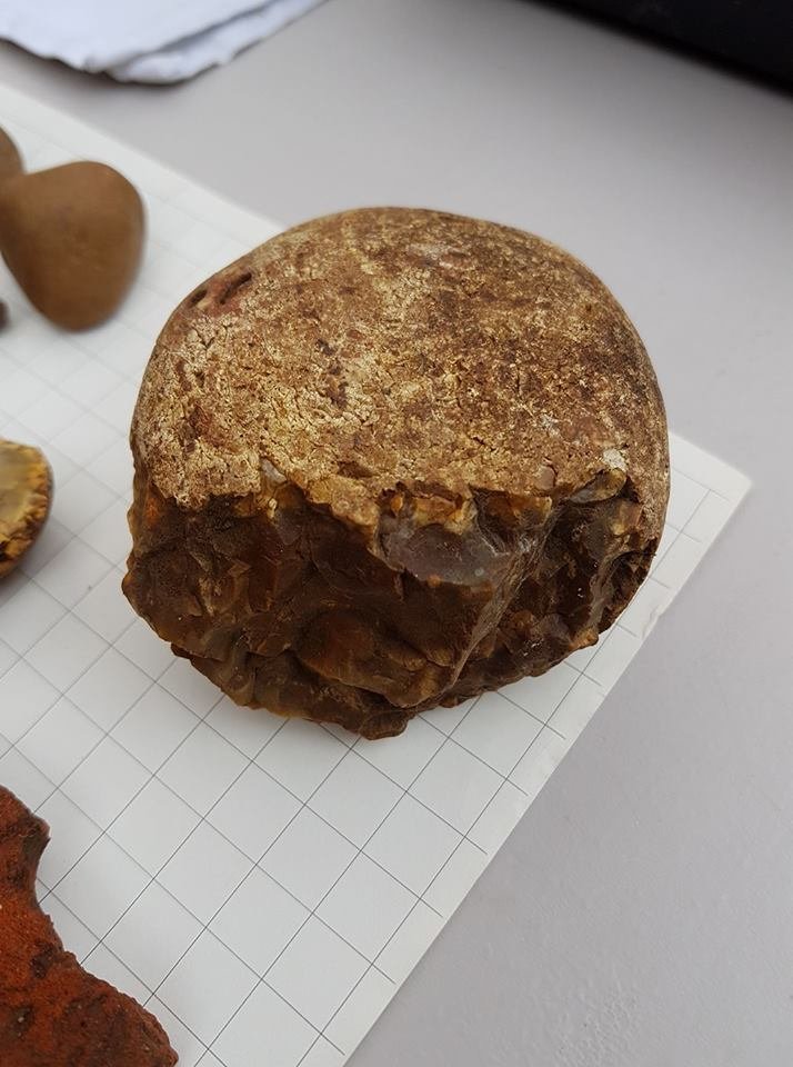
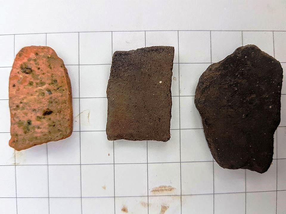
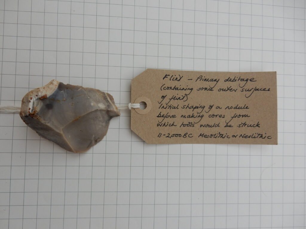
The first layer yielded nothing, but the second layer yielded some pottery and metalwork, mostly 18th century, which is contemporary with the barn that was there before the church. After removing tree roots which obscured the third spit, older finds started to be revealed: pottery sherds including late 12th – 14th century Hertfordshire Greyware, a sherd from medieval green glazed ware, a Roman Coarseware sherd and a possibly Early Iron Age sherd. We also found a flint cobble, shattered on one side and thought to possibly be a Paleolithic (Stone Age) “pound stone”, used to extract marrow from bones.
Below is a LIDAR aerial survey of the North end of Walkern High Street showing the site of the test pit and other features at the back of the URC.
Pictures from the dig including finds can be found below, click on a picture to see an enlarged image.